
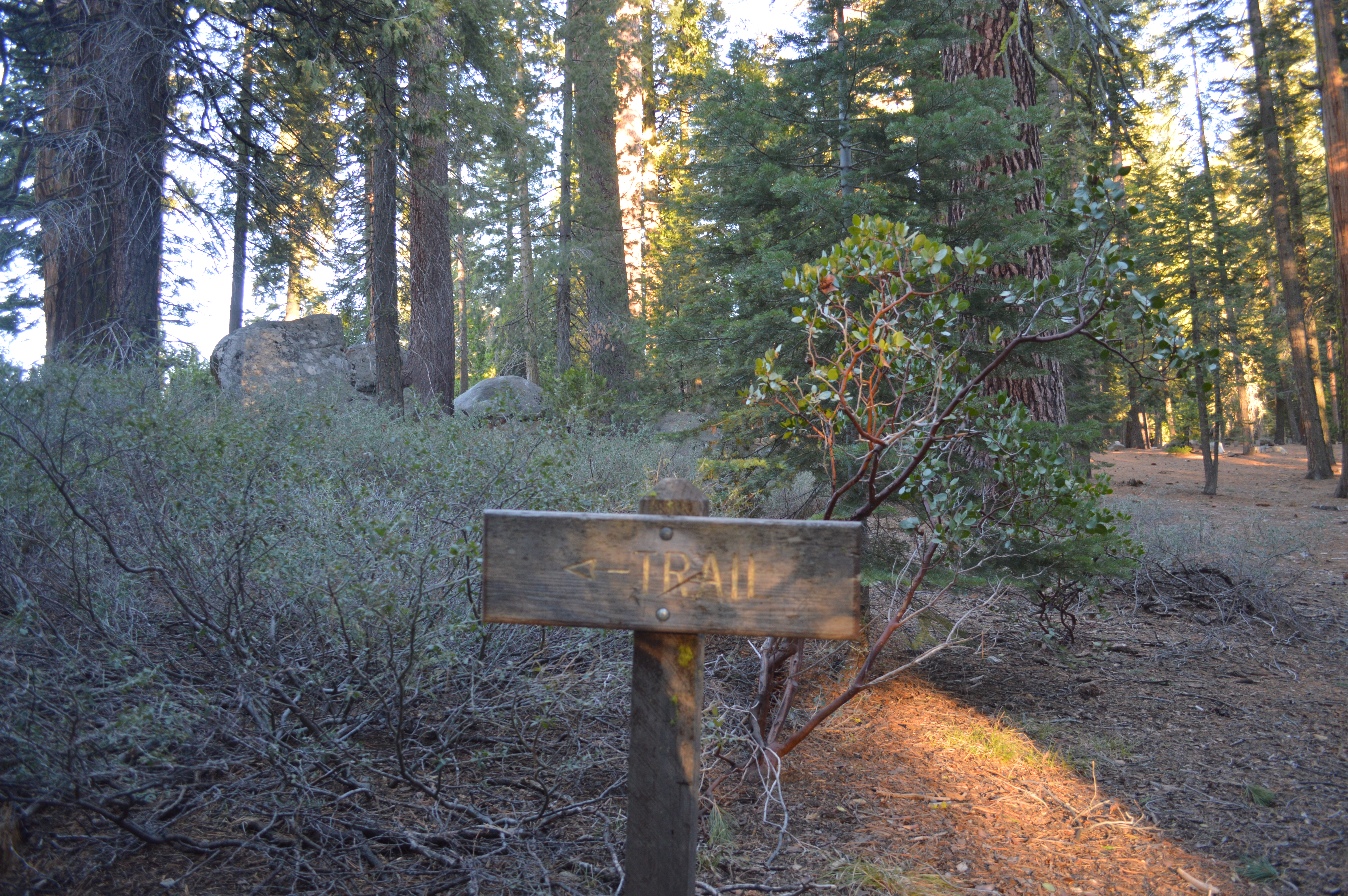
trail sign near Pioneer Campground directing you to trail to the lake
This 3.12 mile loop is a nice, hour long loop that takes your way above Pinecrest and into the quiet stream side areas of the North Fork and Sherring Creek while still starting right here in Pinecrest. It starts by going along the beach and then into the cabins and up what originally was Karl’s Ski Hill, a downhill ski lift for Karl’s resort, one of two resorts right in Pinecrest. This ski lift was removed once Dodge Ridge was developed in the 50’s. It used to be fairly clear of trees but they have grown back quickly. The flat spot at the bottom of the hill was originally intended to be a parking lot.
Length : 3.12 miles
Elevation Gain: 294 feet Total
Suggested Hike time: 1. to 1.5 hours
Difficultly: Some steep up hill sections
Starting Location: Pinecrest Marina Beach
Directions: This hike starts at the Marina. Walk along the beach trail and pass all 3 of the swimming beaches. Take the trail that heads up to the road at the restroom to the first round about on Pinecrest Lake Rd and then head up Rustic Rd to the first left onto Sugar Pine Circle or Tuolumne Rd ) Then at the next 4 way intersection (Fir Rd and Tuolumne) take the trail that goes up the steep hill into an large open area between cabins. Once you get up to the flat area at the old ski hill, turn left and go up the more gentle hill until you find the trail connection to the Pioneer Campground. Take the trail as it climbs and switches back a few times to reach the top with fairly gentle but gradual climbing.
Continue to the top of the ridge into Pioneer Campground. From Pioneer Campground area, head down along the crest of the hill and back up and cross the Dodge Ridge Rd and into the Pinecrest Chalet area.
Head directly into the Chalet area and continue straight down the hill pass the chalet amphitheater and cross the creek on a small wooden bridge and up the hill to an old logging road.

footbridge over North Fork at Pinecrest Chalet
Turn right on the logging road and continue down on this road for another mile after it intersects with the experimental forest road.
When you meet up with the Experimental Forest Rd intersection, make a sharp right and cross over the creek toward the Dodge Ridge Rd and then take the trail that parallels the Dodge Ridge before crossing the Dodge Ridge Road until the Pinecrest School Rd.

Connection to paved trail at Meadow View Campground
Cross the Pinecrest School Rd and get on to the paved bike trail inside of the Meadowview campground. This trail starts at the corner of the Pinecrest School Rd and Dodge Ridge road.
Take this all the way to the end at Dodge Ridge Rd and Pinecrest Lake Road. Take the trail that parallels Pinecrest Lake Road all the way back to the Marina.
Map:

Elevation:

