
Updated July 8,2024
A PLT printed map has now been created! It is a two sided map measuring 12×18 inches and it folks into 8 pages folded together.
Below are the two PDF documents you can download and print for yourself to use. Printed version of this map are available at some stores in the Pinecrest Area. This inside page is meant to be folded into 8 sections.
The official logo of the PLT created 10.24.22
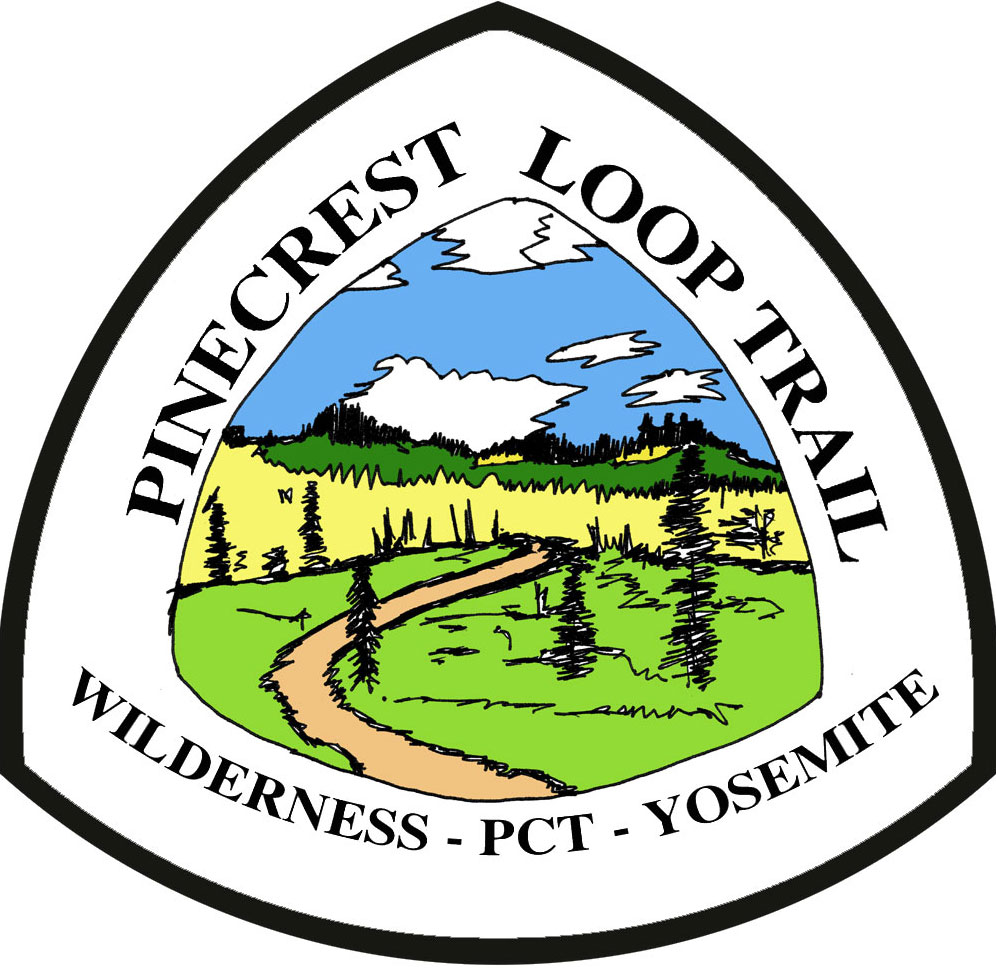
This logo is based on the some of the views of the PLT near Horse and Cow Meadow.
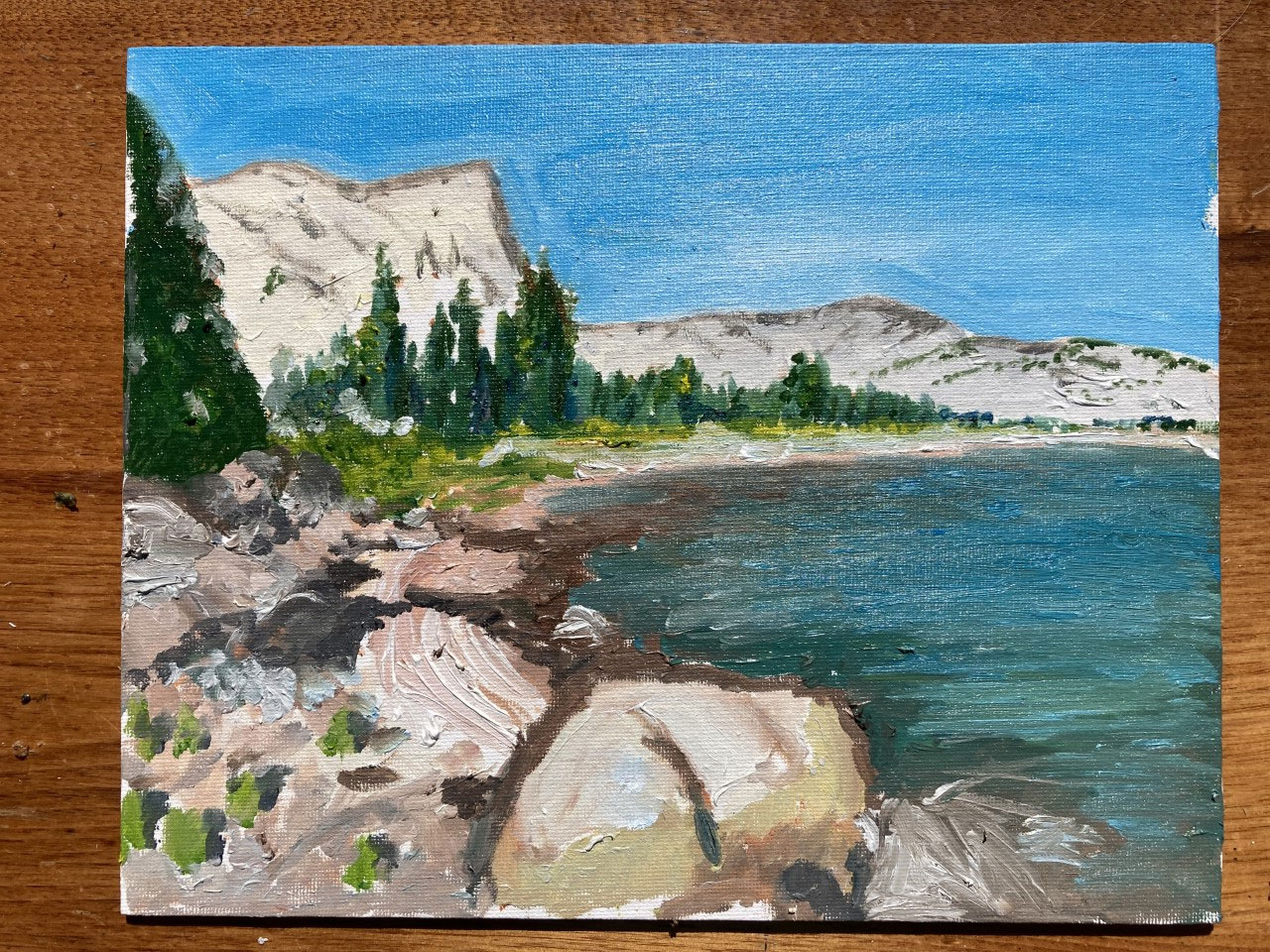
ART of the PLT:
WHY THE PLT?
Pinecrest needs a longer distance, circle trail similar to the Tahoe Rim Trail (TRT), Wonderland Trail (near Mount Rainer), Oregon Coast Trail. This trail would start and finish in Pinecrest California with the basic set of goals:
Access from the PCT to Pinecrest from both South bound or North Bound PCT hikers
Around 70-80 miles
Can be hiked in about 4-9 days (1 week on average) – If hiking the whole loop
1 resupply point (optional at Kennedy Meadows North) –
Options to recharge devices and connect to wi-fi at Kennedy Meadows North
Hiking and connection with the PCT (About 10 miles of the PCT)
Hiking in Yosemite Park passing some amazing lakes and scenery
Optimize views and lakes for camping, scenery, swimming, etc
Pinecrest Loop Trail – General Descriptions – August 2022
A route of 77 miles has been created. It starts and finishes in Pinecrest, CA 95364.
This loop trail is primarily designed for hikers to start from Pinecrest, and hike the 77 miles with one potential resupply in Kennedy Meadows. Another option is for PCT Hikers from the PCT can take the route to resupply in Pinecrest and then take the other more northerly leg back to the PCT about 10 miles north from where they got off.
Short Cut Option – One can do a short version of the PLT by taking the PLT short cut to reduce the route to about 56 miles instead of 77 miles. See Map for short cut route and distances marked in a different color. This route cuts off just before the Kennedy Meadow and Relief Lake area. This cuts off the PCT section and Yosemite National Park.
The full GPX version of this route with some camping and water source location can be downloaded by clicking the GPX file below. (Google Drive Link)
Click here to Download GPX for Pinecrest Loop Trail
Mapping info:
This map/Route/GPX was created using CalTopo.com as our mapping tool. Click on the link below to access an online version of the map and explore other mapping and print option. Note – We have found that users with paid CalTopo subscriptions can download offline basemap more successfully that free account users.
Click here to view map online with CalTopo.com
The map below slows the latest version of the PLT-V2
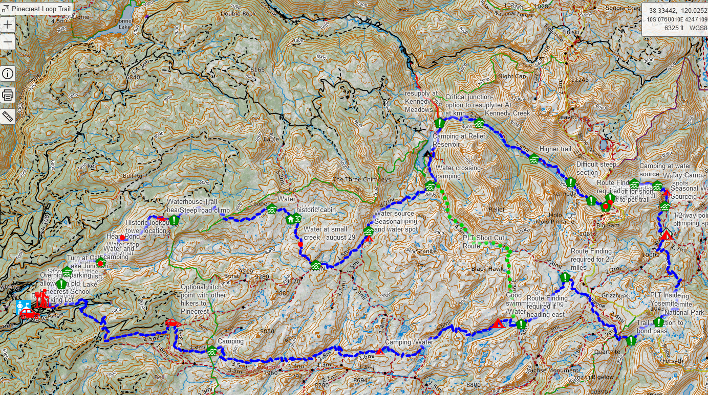
Click HERE to go to Online version of map
Trail Notes:
Update – January 2024 – Trail Report
The PLT was not highly used in 2023 due to the excessive snow falls of the Winter of 2023. We did have a friend hike and record her notes about the trail when she did the trail in September 2023 and there still was some snow!
Click on the Twigs Blog Record here for more info.
August 29-September 1 2022 – First test Dates
The trail was test hiked for the first time in late August 2022. This has been a dry year so there were fewer than normal water sources than most years.
The trail was hiked in a clockwise direction in 4 days. The route and some notes were added on the map to identify some more challenging trail sections requiring route finding and steeper than expected section.
The route was researched for some refinements and to remove a few FS roads and paved roads into a single track trail or other trails. This was done in October 2022.
The trail is fairly easy to follow with a map / GPS tool. There are sections of the trail that possibly an historic emigrant wagon trail route. Connection with the PCT offer some miles to connect with PCT thru hikers and others PCT section hiking.
The most difficult climb is the short section from Kennedy Lake to the PCT with some steep and rocky sections. If there is snow on the trail, that will be make the trail more challenging.
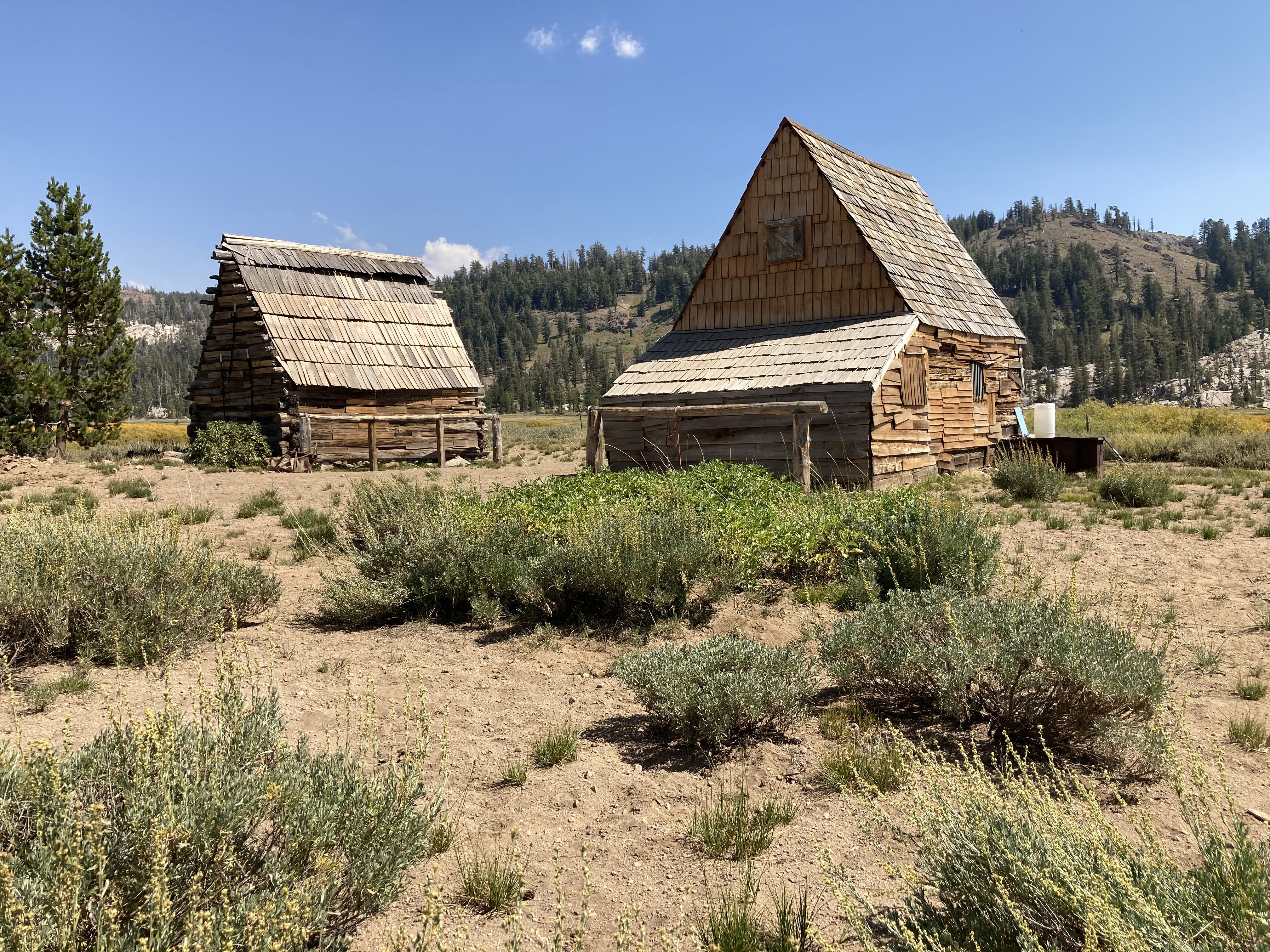
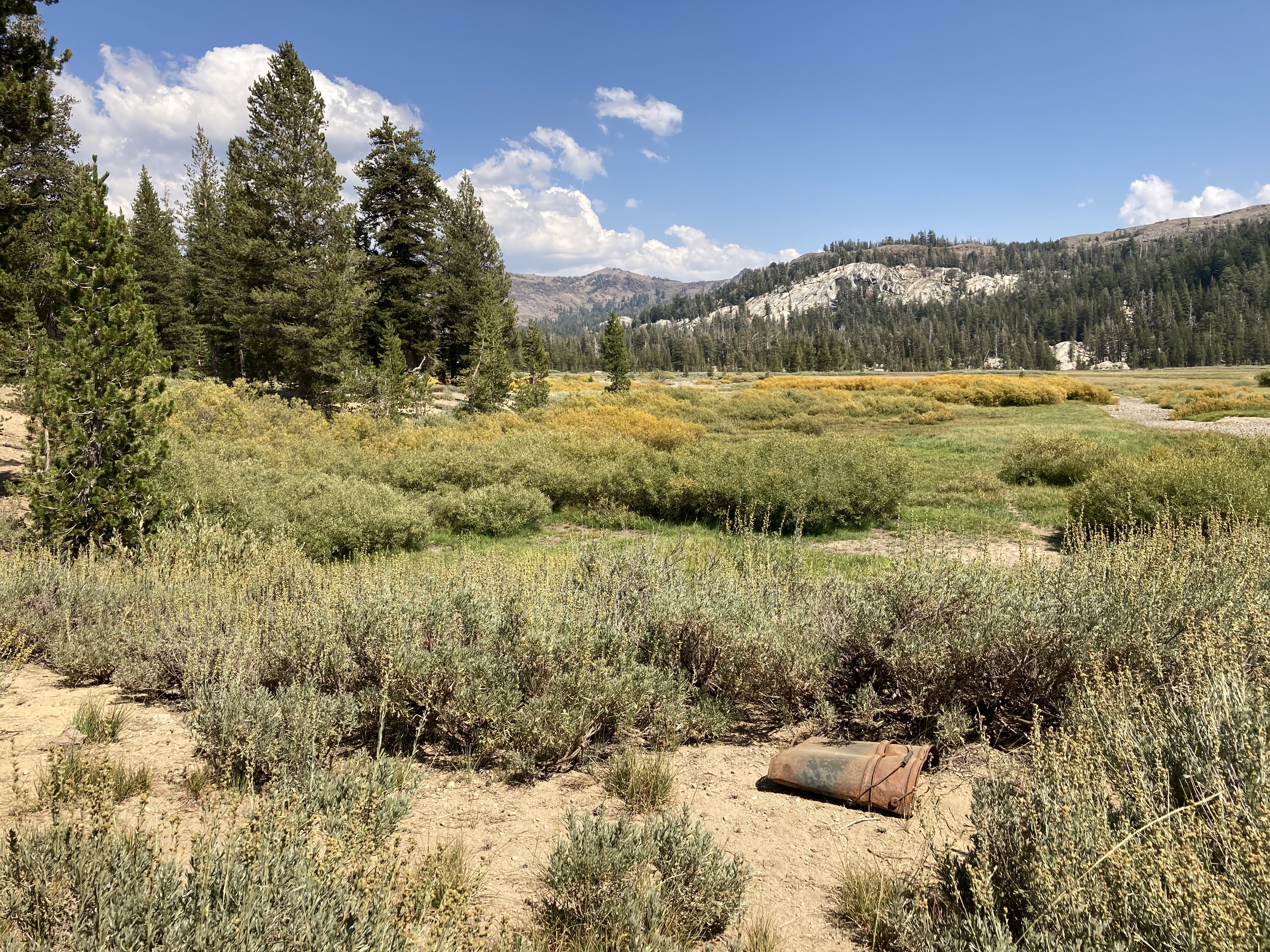
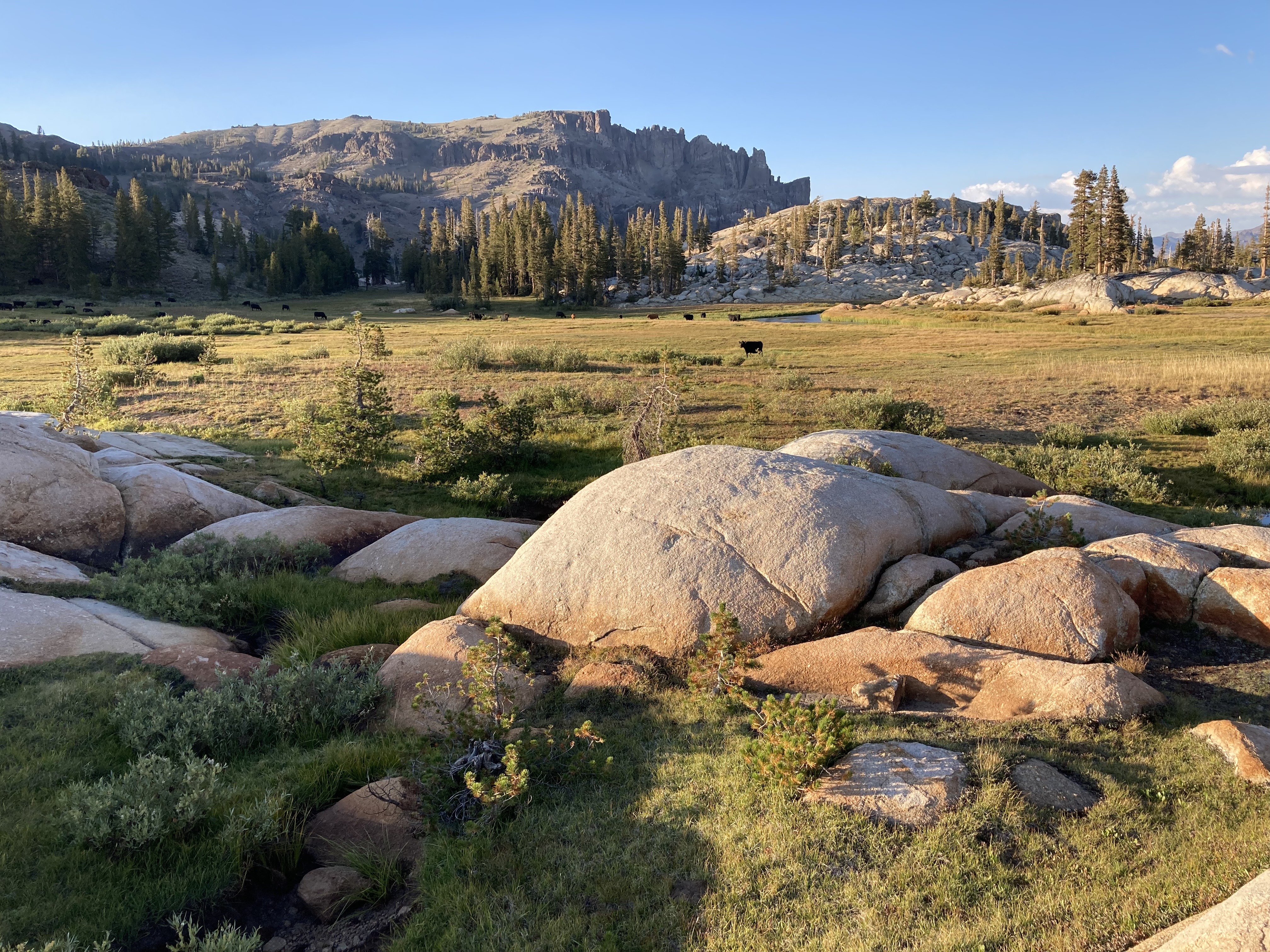
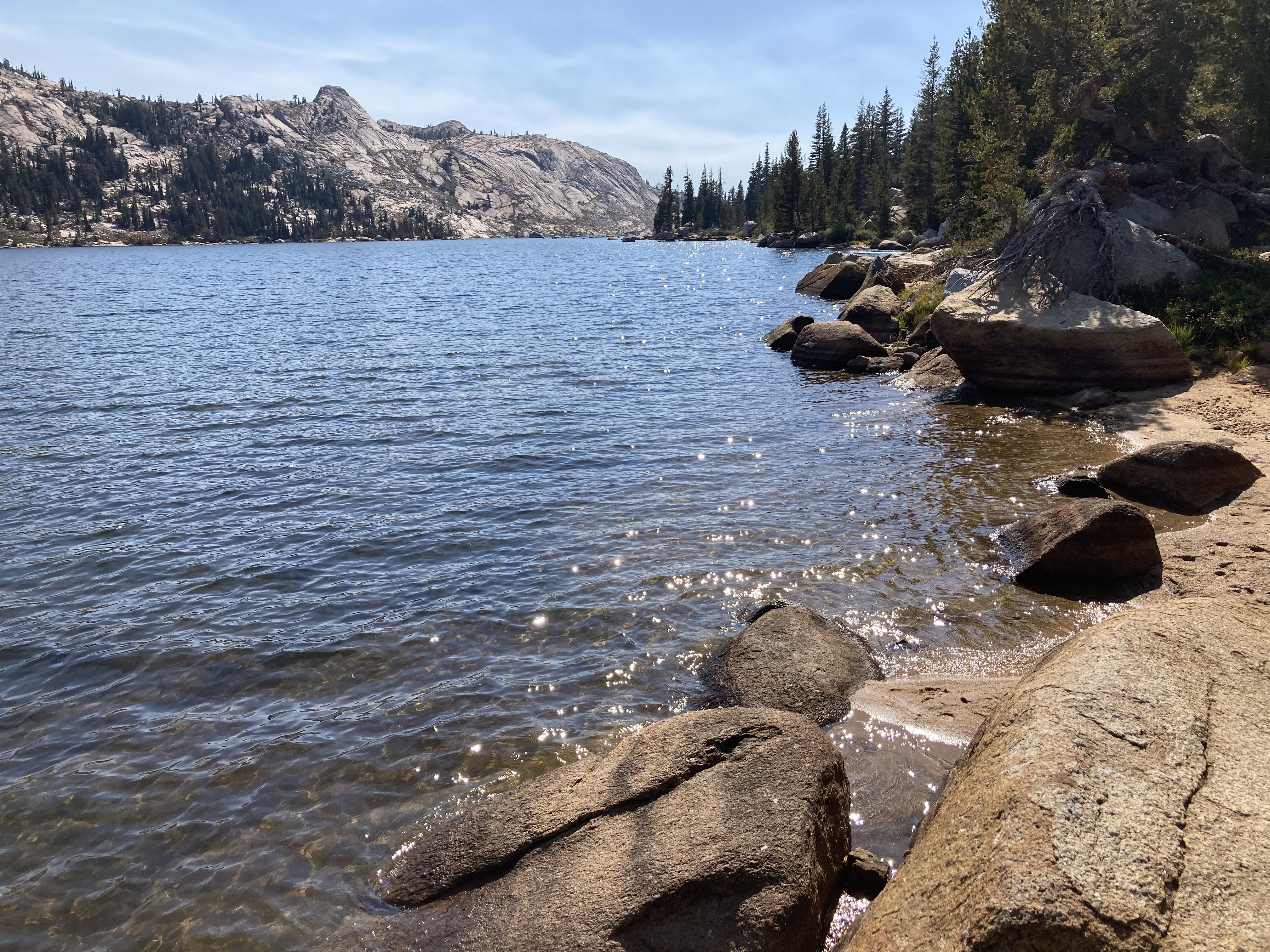
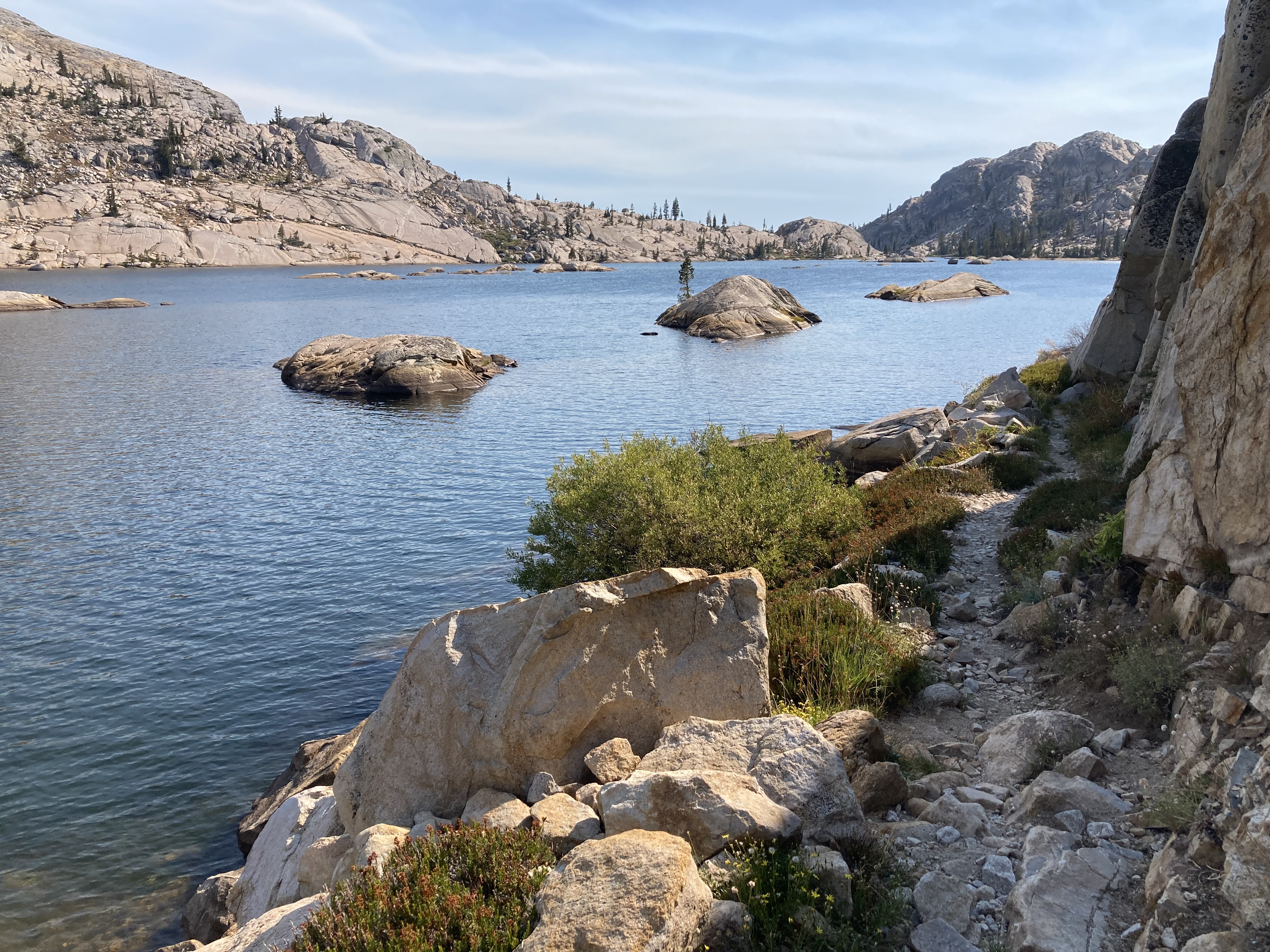
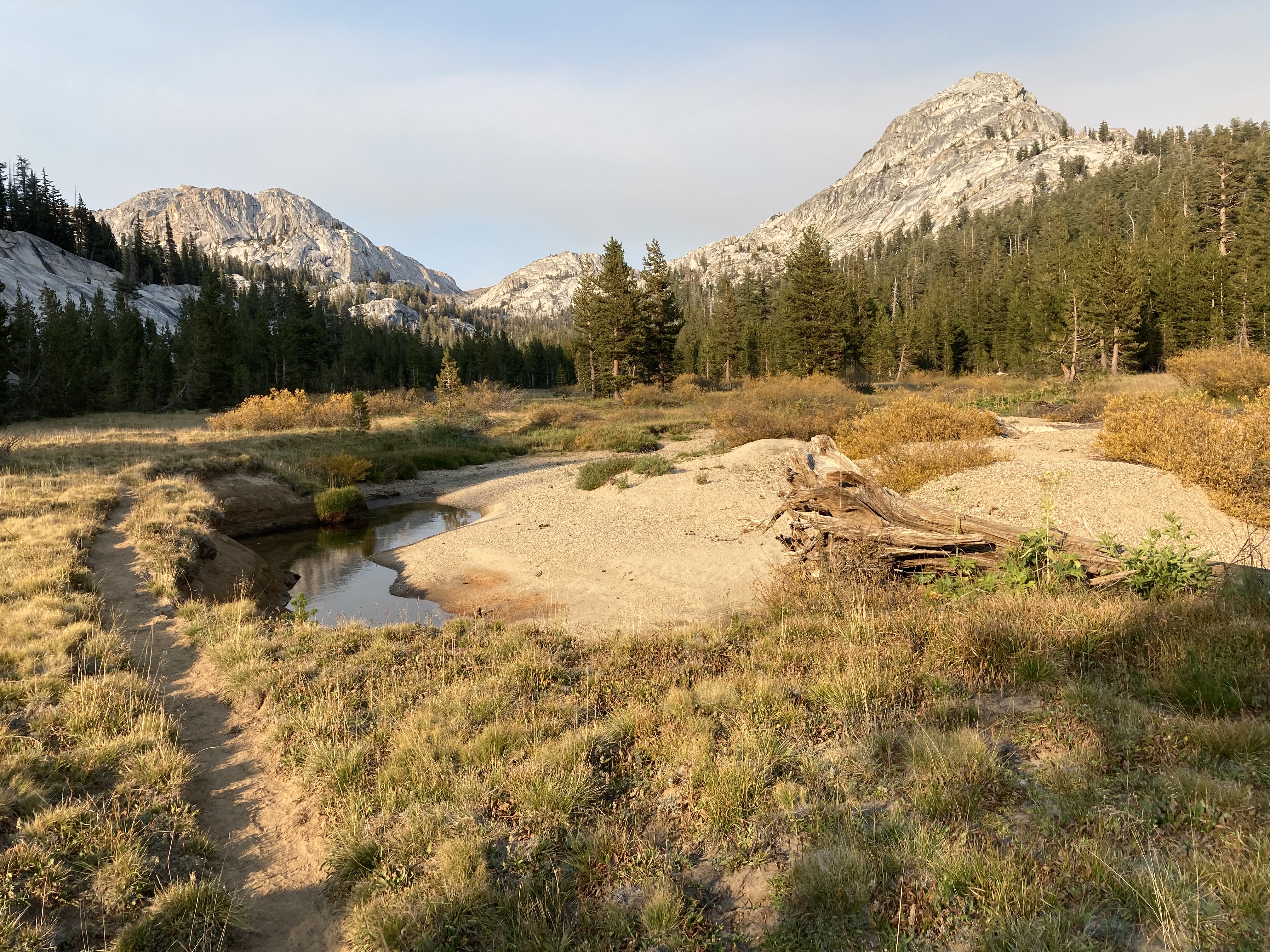
PHOTOS and Other Notes
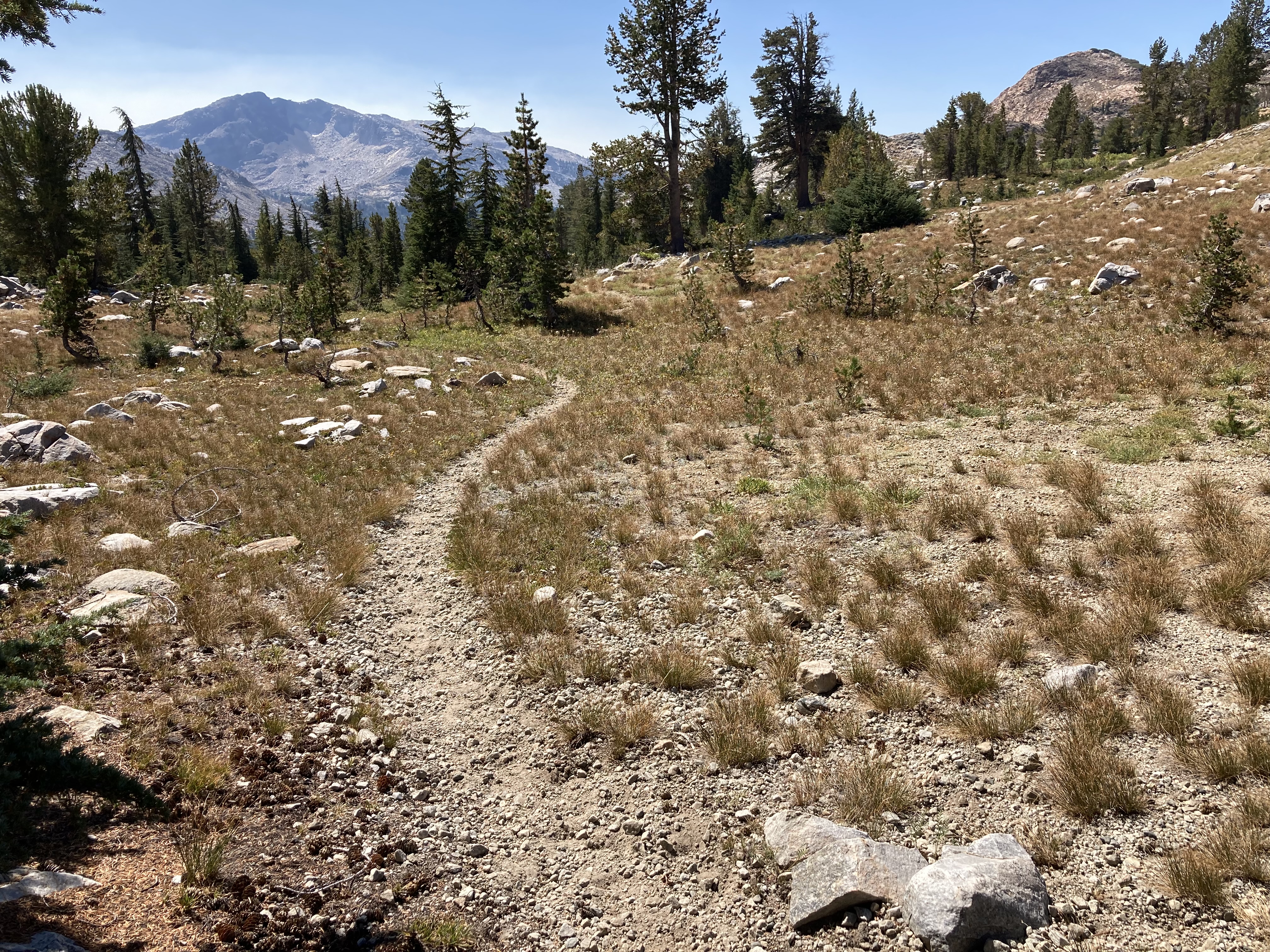
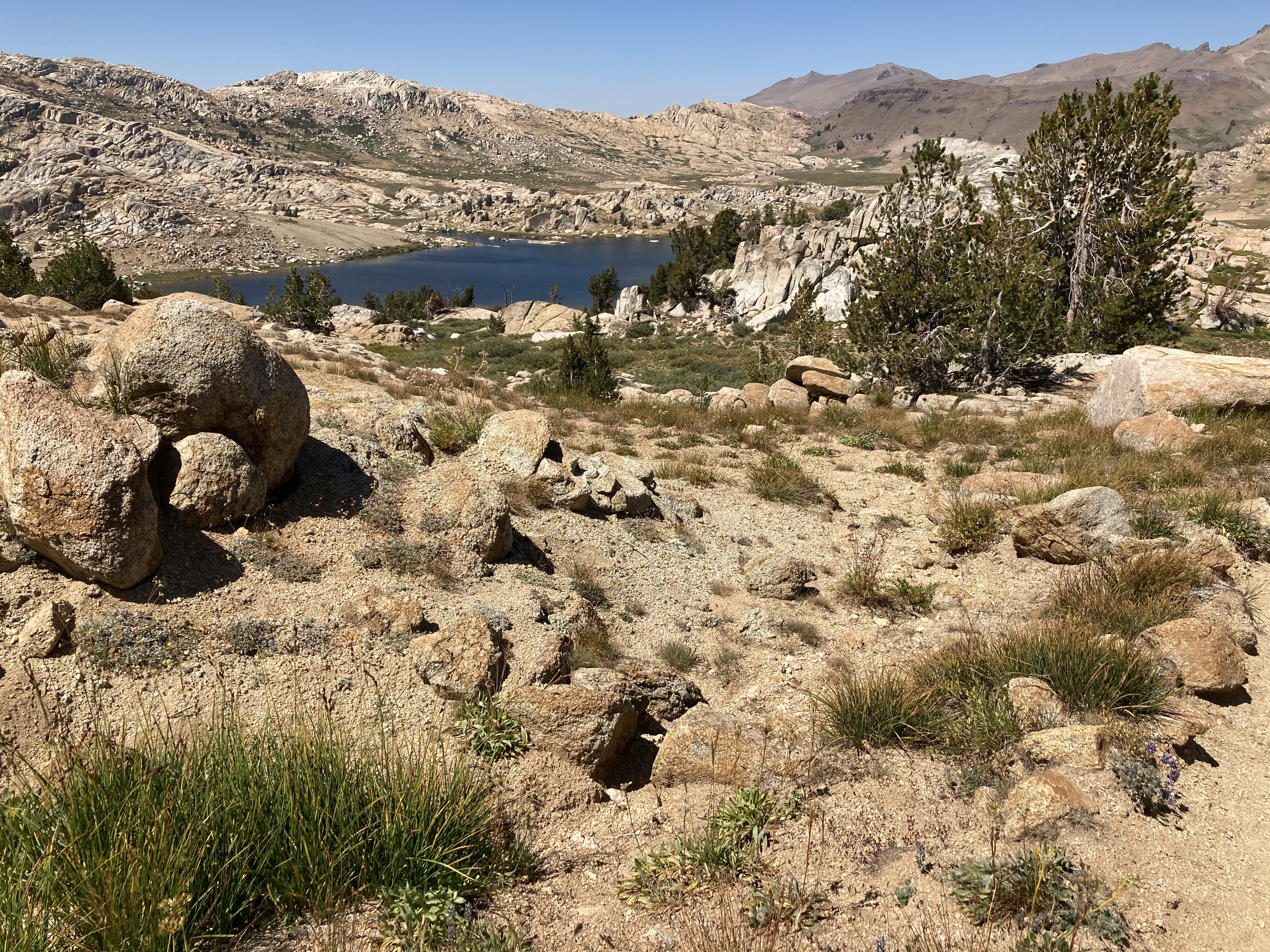
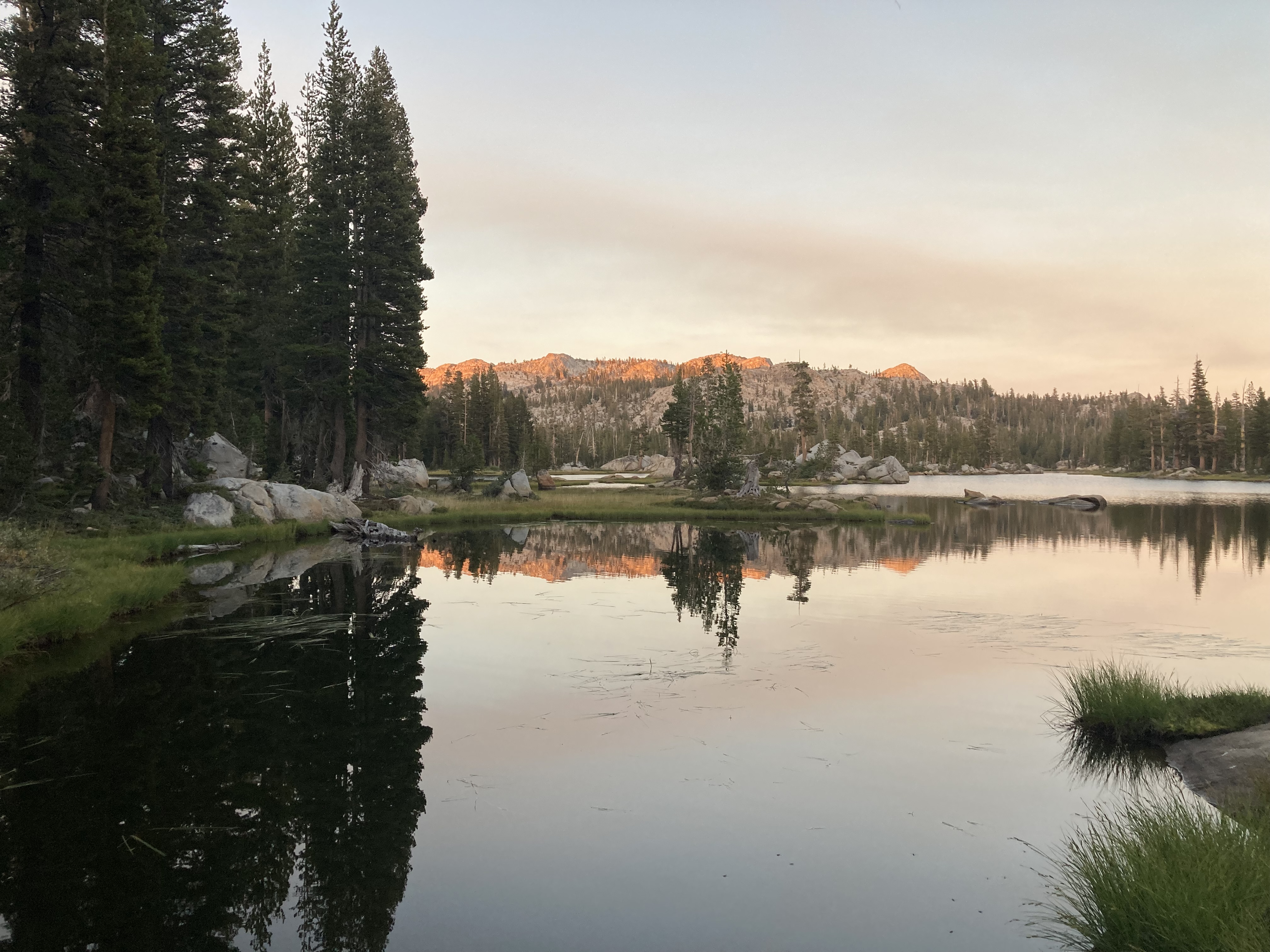
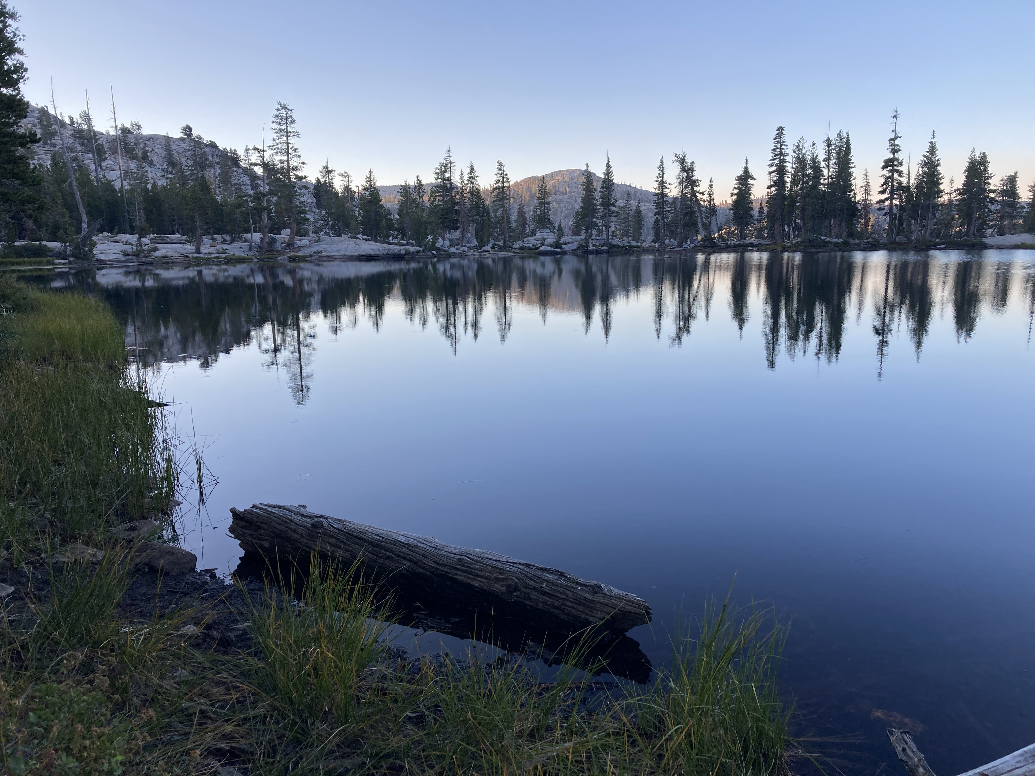
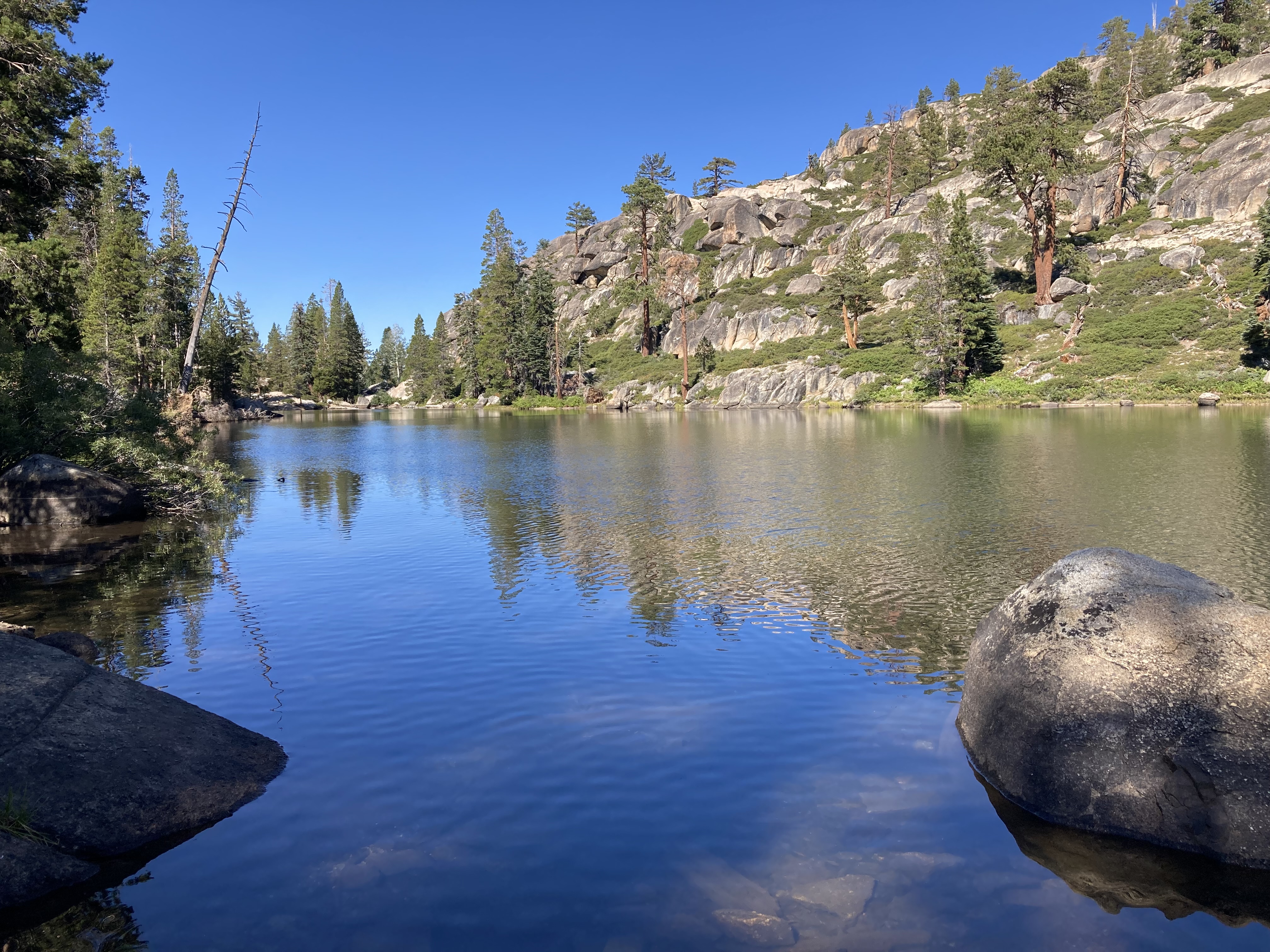
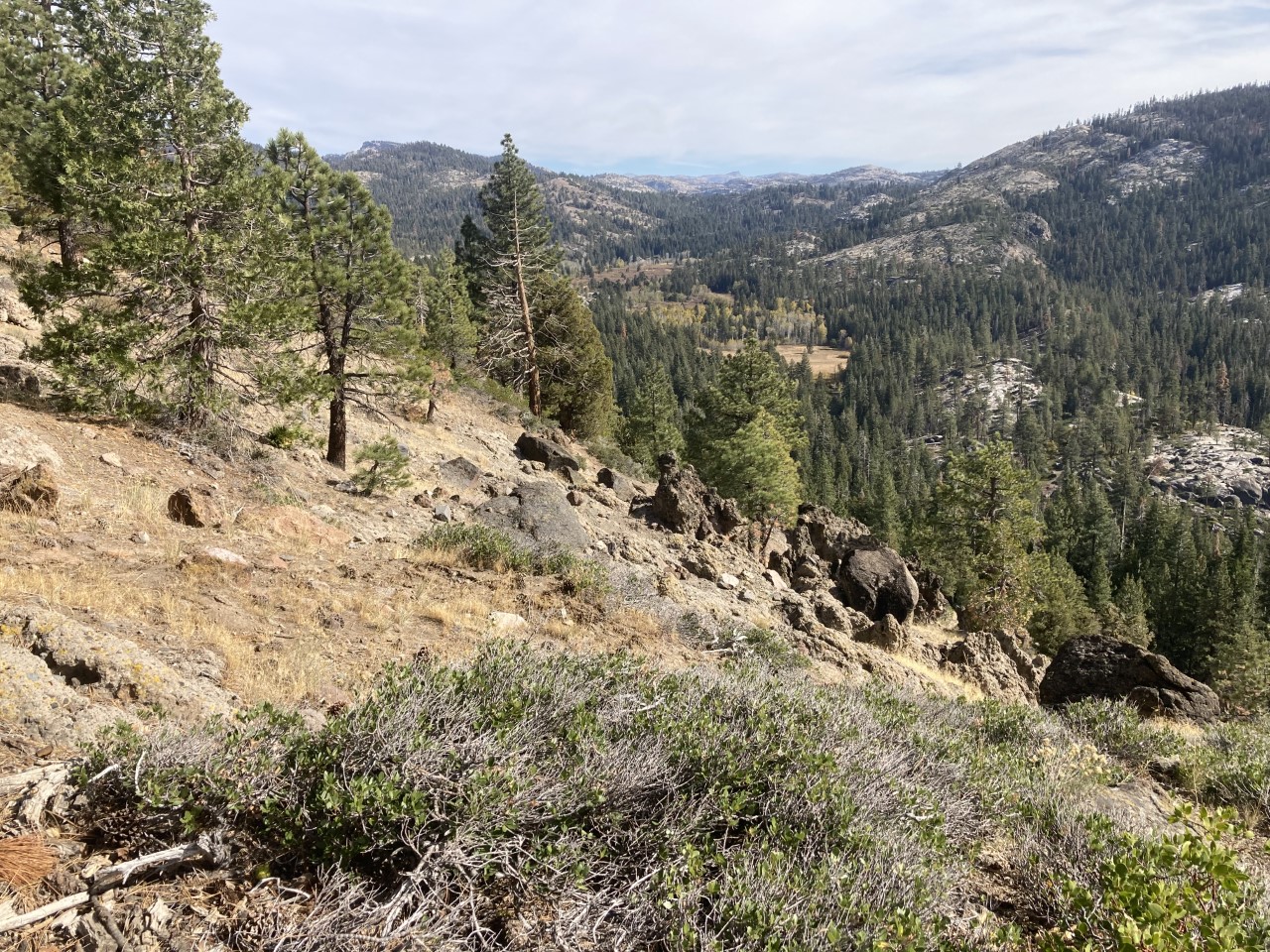
Here are some photos and a highlights of the PLT trail that you can enjoy too! Photos are in sequential order of the PLT starting from Pinecrest in a clockwise direction.
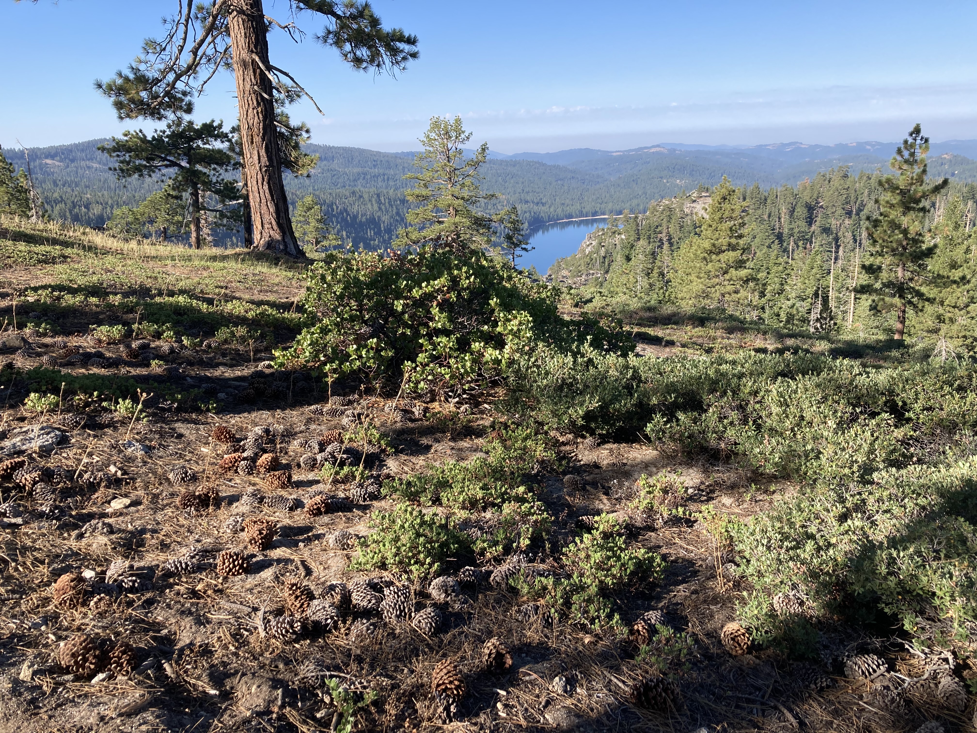
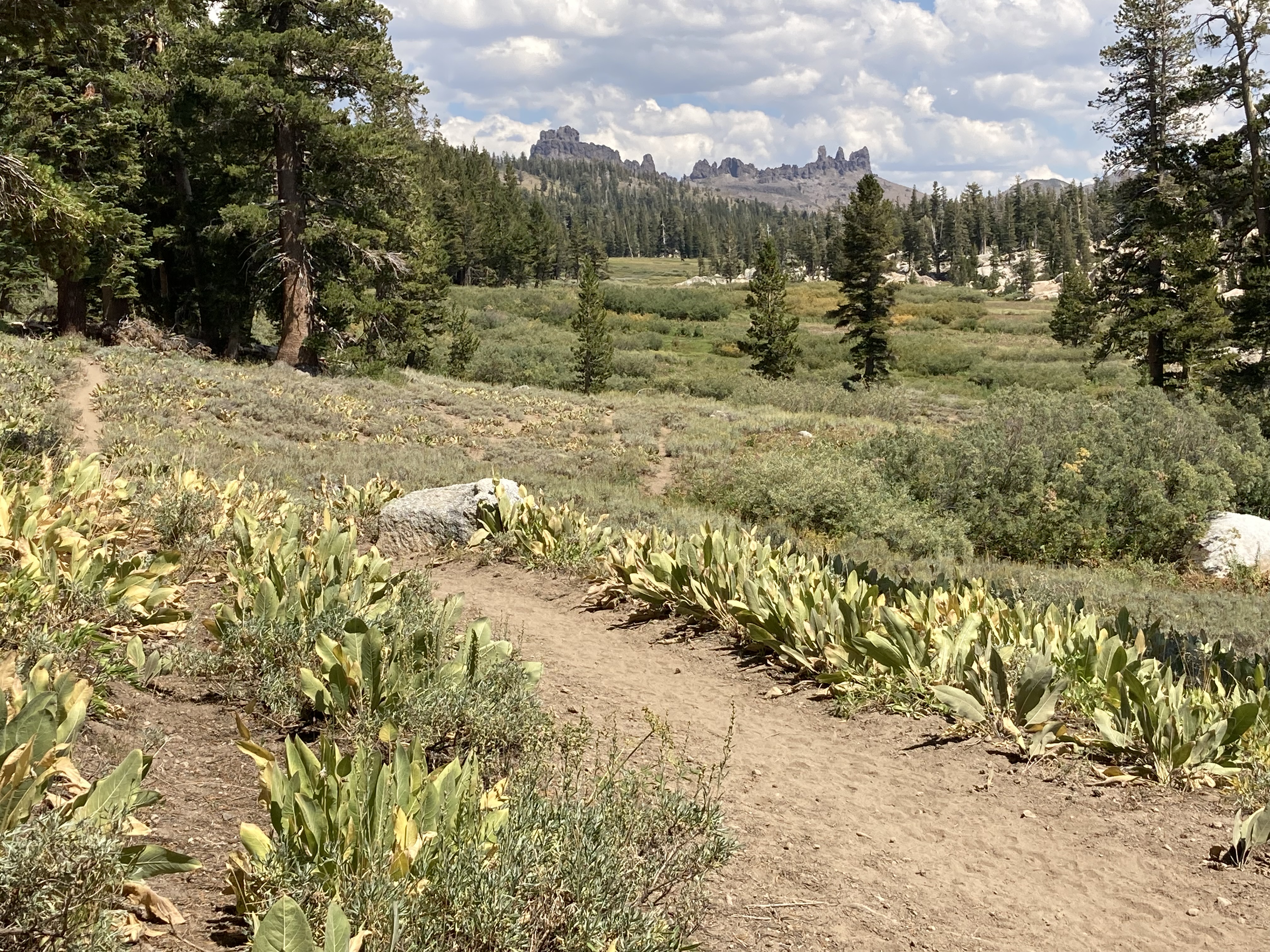


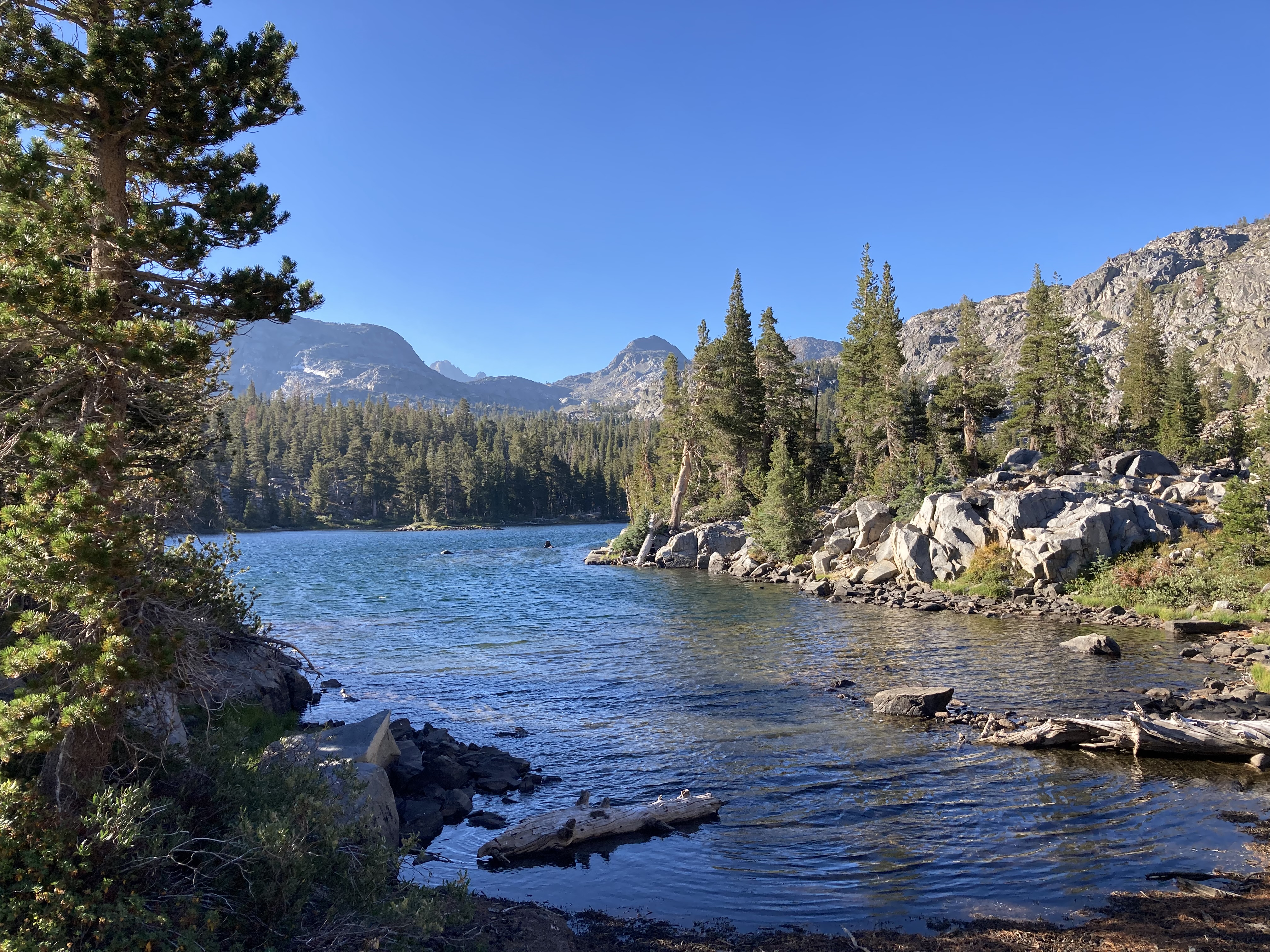
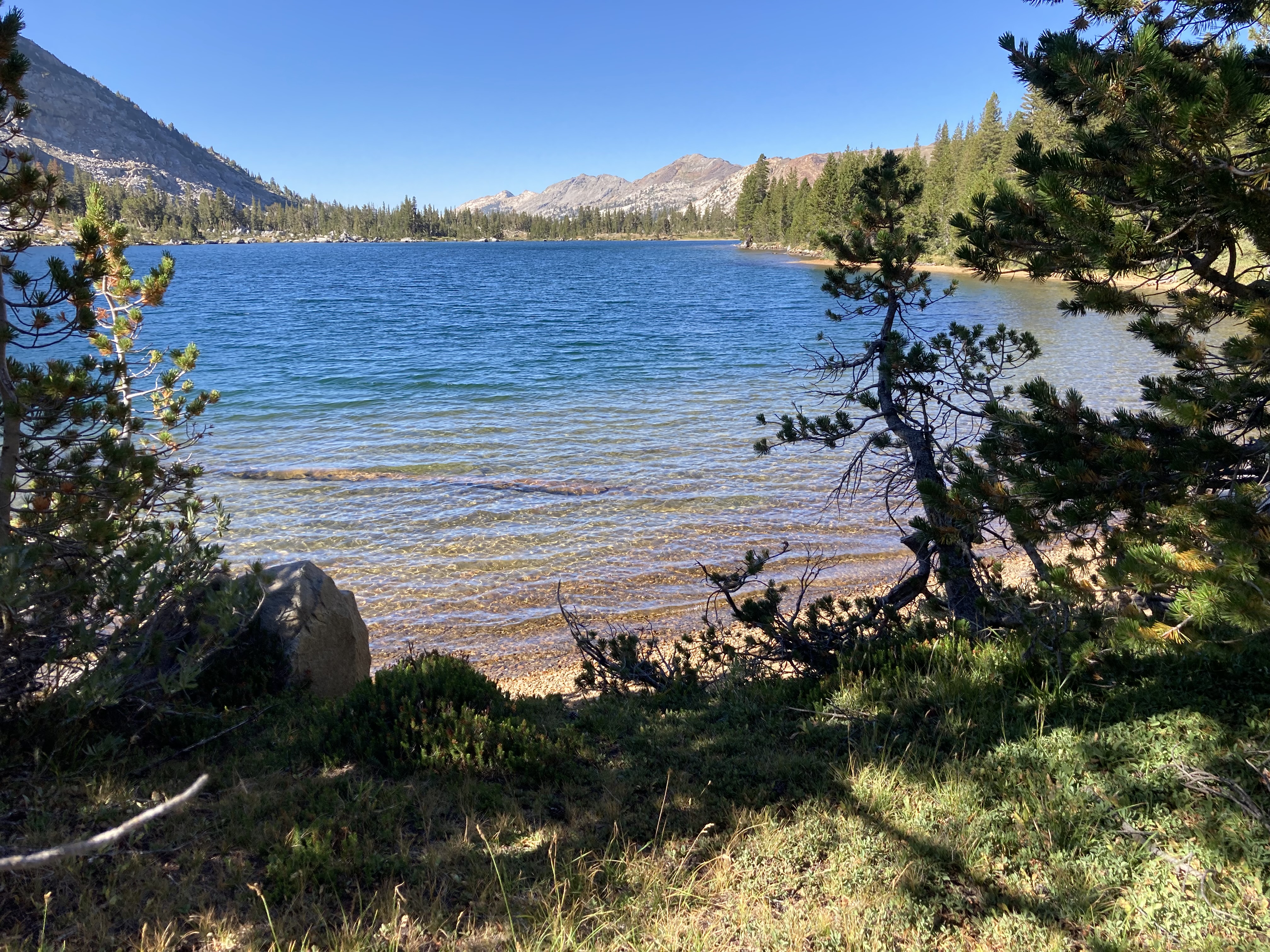
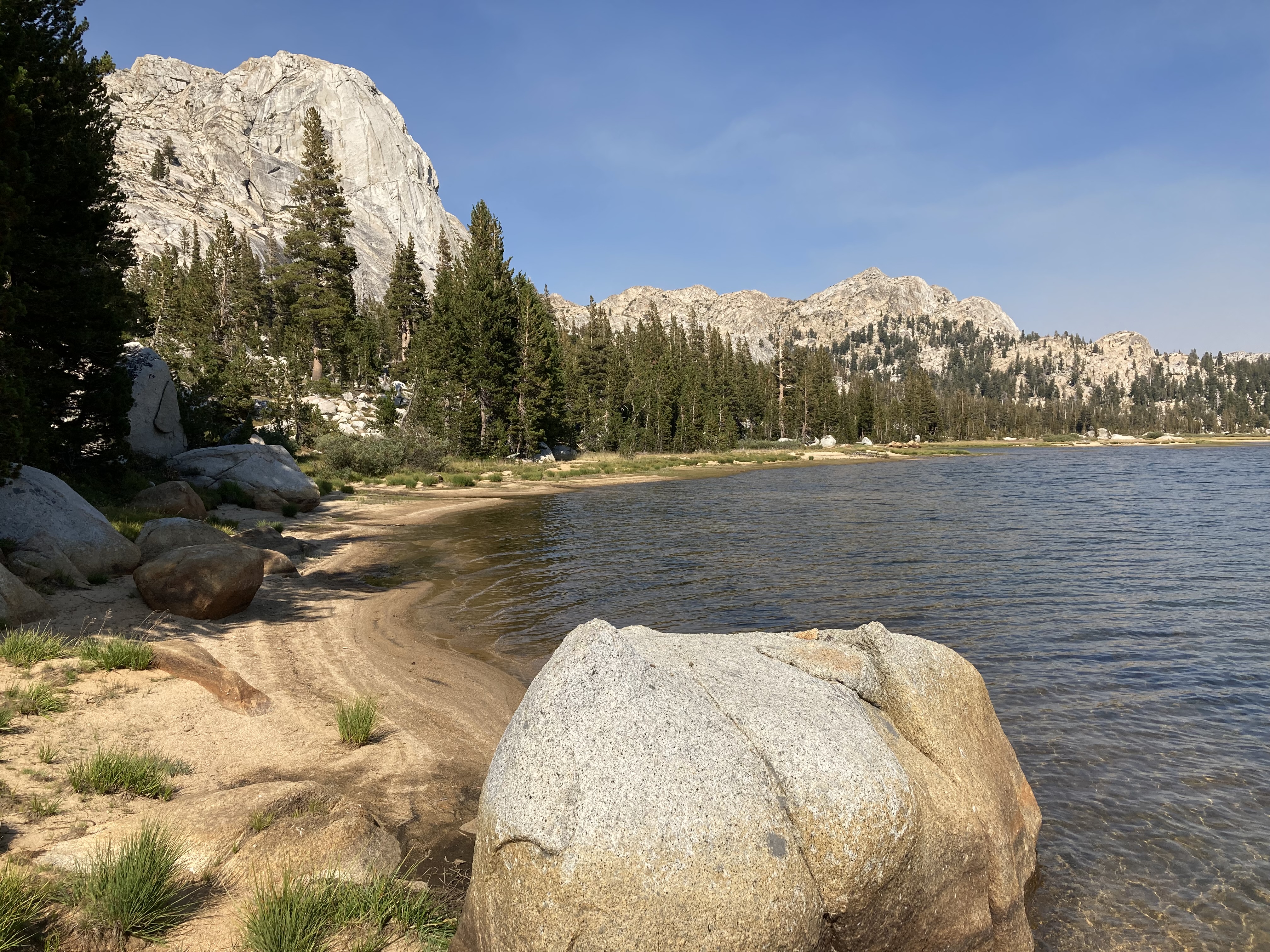

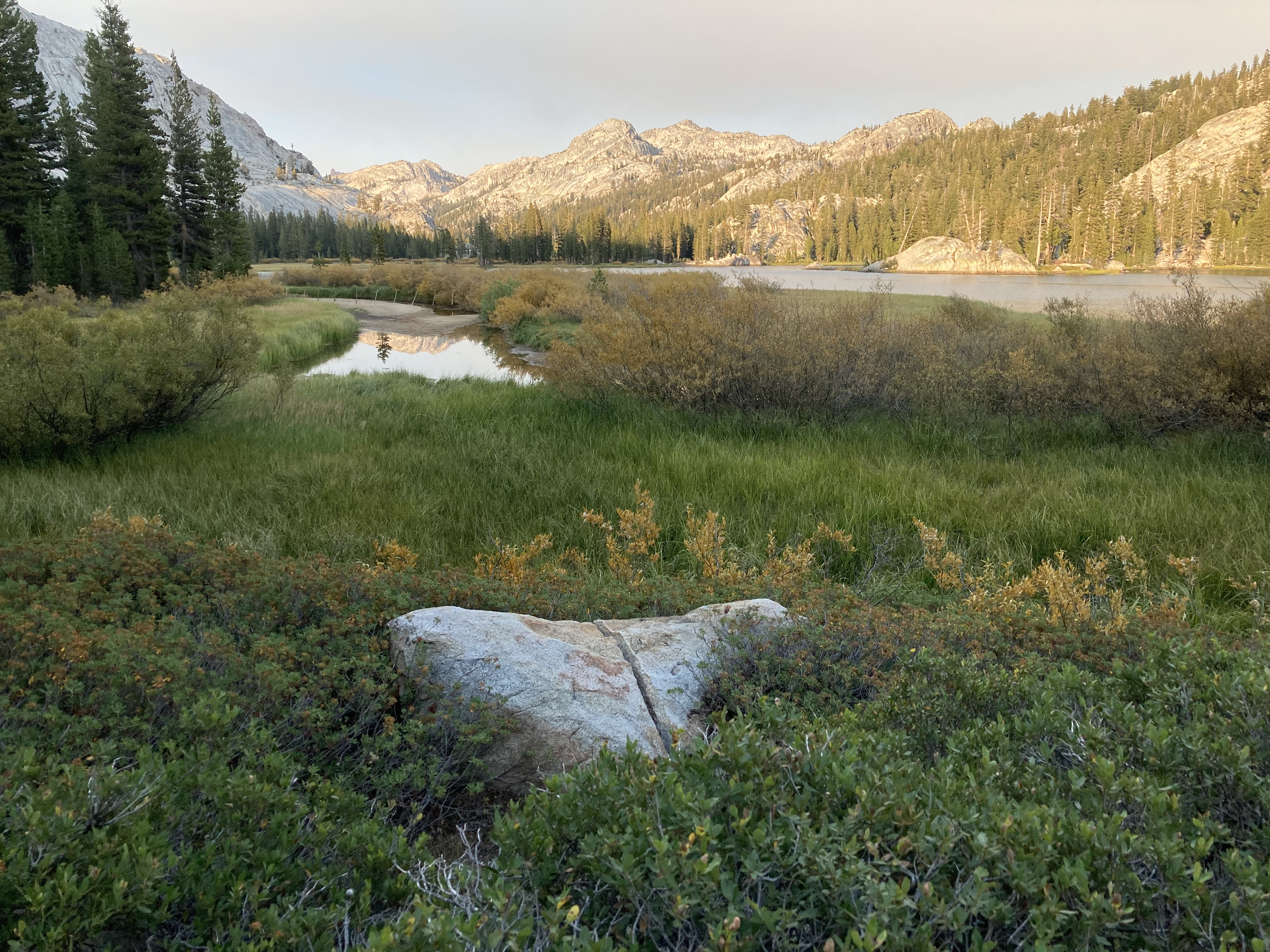
Views past Crabtree Camp Trailhead before Aspen Meadows
Trip Planning Notes:
The Pinecrest Loop Trail is a very high Sierra route. During many years sections above 9,000-1000 feet (top elevation is about 10,000 feet) will be covered in snow into late June. This route includes many stream crossings that could be running high from snow melt. Bugs could be a problem in early summer too in the emigrant meadows.
Based on the seasonal requirements, it might be best to do this trail in July/August/early September rather than May or June. Each year will vary dramatically with snow lasting at high elevations some years.
Even in the driest years, you can find water at reasonable distances if you plan and get water when you can.
Resupply Options – The only resupply option is a short 3 mile hike out to Kennedy Meadows at about Day 2 or 3. This could reduce the number of carry days required.
Exit and entry points – There are a few points to get on or off the loop at the following places with vehicles
Pinecrest
Pinecrest Peak – Rough road on Herring Creek Rd
Waterhouse Trail Head parking lot (Road is gravel and rough in spots on Herring Creek Rd)
Cooper Meadow Trail Head parking lot – Road can be rough – reasonable clearance vehicle needed
Kennedy Meadows – Easy paved road access
Crabtree Trail Head – Easy mostly paved road access
