
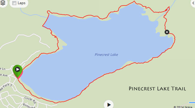
This 4 mile trail around the lake is by far the busiest trail in the Pinecrest area. The inlet on the east side about 1/2 way around. The southern part of the loop is flatter and faster and shaded compared to the northern half that is exposed, and quite hilly in sections.
Distance: 4.0 miles
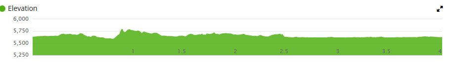
Elevation gain: 312 feet
Time: 1.0 to 2.0 hours hiking
Directions: Start at the Pinecrest Marina Area. If you go in a clockwise direction, you will do the hilly and sunny/warmer section first. If you go in a counter clockwise direction, you will finish with the hilly and warmer / exposed section last.
There is a bridge to cross the inlet. Do not attempt to cross the river when it is flowing high in spring or summer.
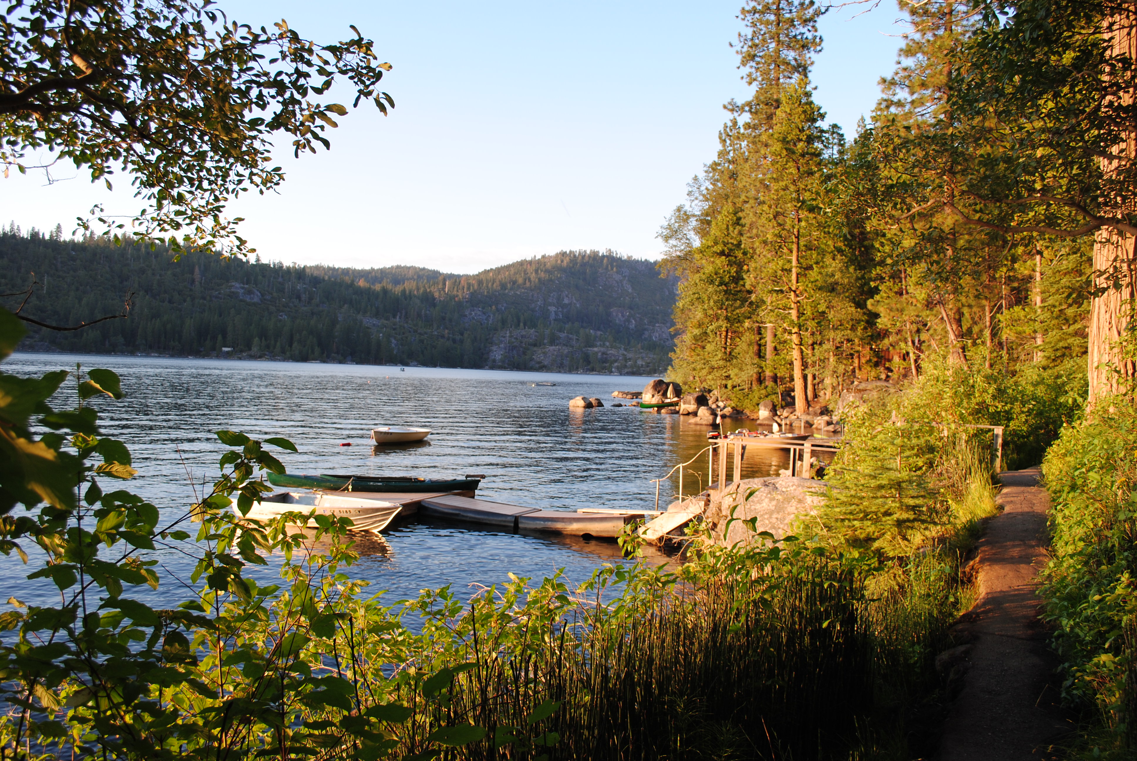
Optional stopping spots for swimming
Map:
Elevation Profile:
Note: The trail is very well developed but there are many sections of rock steps, metals steps, and boulders and obstacles. Illegal for bikes and not bike friendly for most of it. For much of the summer, it can be overly busy and may require that you stop to let others pass in the opposite direction.

You can deter off the trail a bit before the dam and head up above the water tanks for a nice view of the lake.
This part of the trail is narrow and cemented to cover a pressurized sewer line underneath it!
